blah blah blah
Mt. Israel
Length: 4.5 miles out-and-backDifficulty (click for info): Moderate
Elevation Gain: 1760 feet (+130 feet on return)
Rating (click for info): 7/10
Elevation: 2635'
Prominence: 1202'
Driving Directions:
Trailhead and parking area are at the end of Diamond Ledge Road in Sandwich, NH. From the center of Sandwich at the junction of Rt. 113 and Rt. 109, drive northwest on Grove Street, which becomes Diamond Ledge Road. In 1.9 miles, take a left at the T-junction onto Sandwich Notch Road. In 0.2 miles, bear right at a signed fork and continue 0.4 miles to Mead Base Conservation Center. Click here for a Google map.
About the Hike:
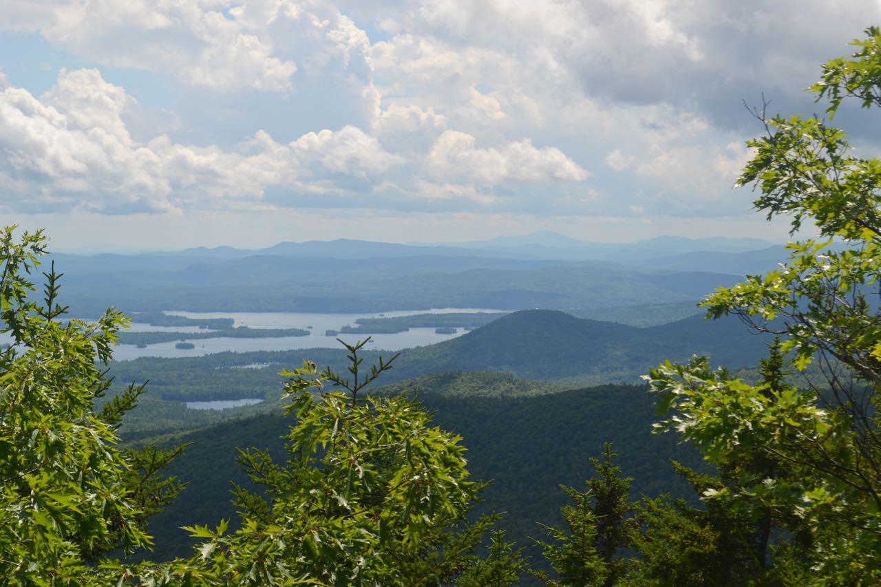
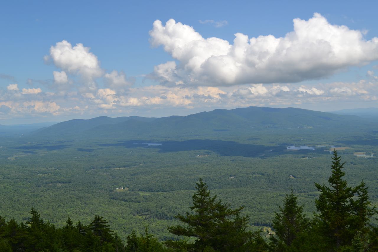
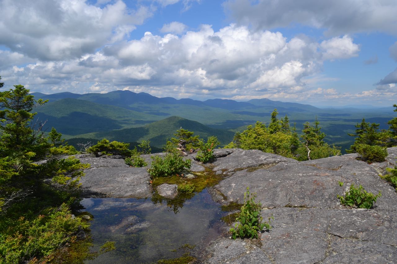
Mt. Israel is located southwest of the Sandwich Range between it and the Squam Range and is really associated with neither, standing fairly alone. Its open summit provides hikers with impressive close-up views of the higher peaks of the Sandwich Range from extensive ledges all around. Scattered viewpoints also have good views south to the Lakes Region. The occasionally steep and rough Wentworth Trail leads to the summit.
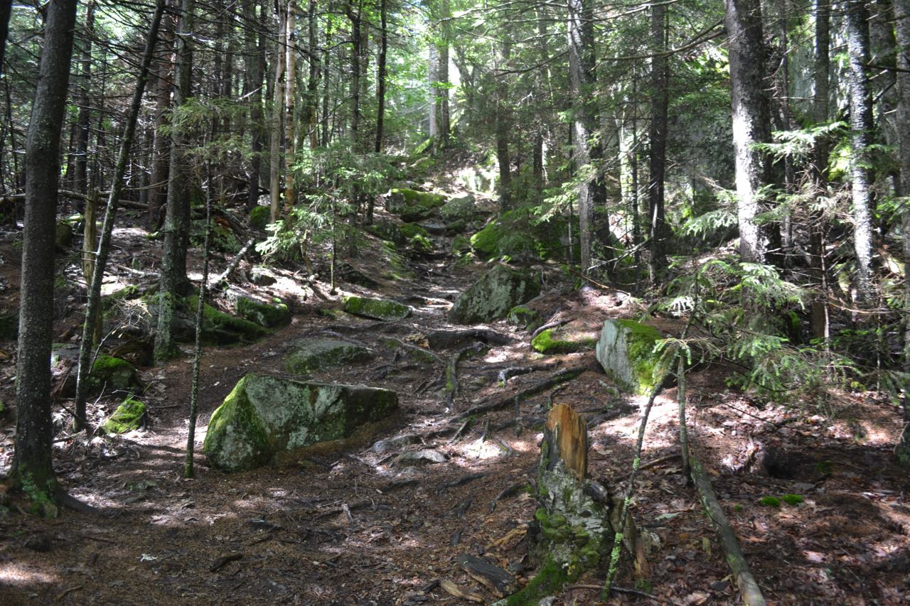
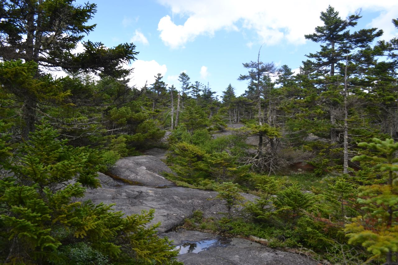
From the parking area at Mead Base, walk to the kiosk and follow the path past the side of the farmhouse to a sign for Wentworth Trail, where the trail enters the forest and begins a moderate ascent through bright hardwoods. In 0.3 miles, the trail hops a stone wall and shoots across the slope, crossing several seasonal streams for a tenth of a mile before crossing a larger stream and turning uphill to follow it past burbling little cascades. The trail diverges from the stream after a quarter mile and continues angling uphill for another quarter mile over stony ground. After a sharp left turn, the trail steepens and switchbacks become more frequent over rockier terrain. The trail continues this way for about 0.4 miles before it passes beside a rock wall and climbs up to reach the first viewpoint, where there are good views over the trees to the Lakes Region. From here, the trail climbs a very steep and rocky pitch, then levels off as it crests the broad plateau atop Mt. Israel. After a long section of easy walking though dark conifers, the trail emerges on open ledges with restricted views a quarter mile from the first viewpoint. It then continues over the ledges for an equally long section before dipping back into the forest to join Mead Trail. The summit is just beyond.
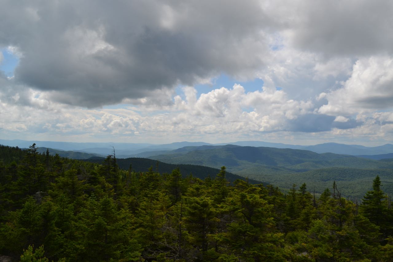
From the tiny dome of the summit, there are excellent views in two directions. To the left are Stinson Mountain, Mt. Carr, Mt. Kineo, and Mt. Cushman, seen over the Campton Range. To the left of Black Mountain, a spur of Sandwich Dome, is Mt. Moosilauke. Massive Sandwich Dome rises across a valley in front of you. To the right of Sandwich Dome are the two sharp peaks of North and South Tripyramid, with the gentler West and East Sleeper on the ridge to Mt. Whiteface. Below are the two Flat Mountains. Behind Mt. Whiteface is Mt. Passaconaway and two of its sub-peaks, Nanamocomuck Peak and Wonalancet Hedgehog, to the right. Further over are the ledgy mound of Mt. Paugus and the sharp pinnacle of Mt. Chocorua. For a better view to the flatlands to the east, step off the northeast side of the summit cone (about opposite where the trail comes up) and follow a herd path down through the forest for less than 0.1 miles to a wide, flat ledge area. A more obscure herd path leads a short distance from here to another ledge on the east side with a good view of the Ossipee Mountains.
Printable directions page